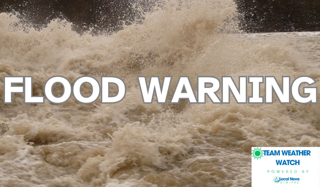
SOUTH-CENTRAL, Ind. - The National Weather Service (NWS) issued an Areal Flood Warning for specific locations in multiple south-central Indiana counties on Wednesday morning. The Warning is in effect until 11:15 a.m. on Wednesday, March 4.
Excessive rainfall is expected.to cause flooding in:
Bartholomew County
Southern Johnson County
Western Decatur County
Southwestern Shelby County
Brown County
Flooding of rivers, creeks, streams, and other low-lying and flood-prone locations is imminent or occurring. At 520 a.m, Doppler radar indicated heavy rain due to thunderstorms. Flooding is ongoing or expected to begin shortly in the warned areas.
NWS says some locations that will experience flooding include Columbus, Shelbyville, Franklin, Nashville, Edinburgh, Hope, Flat Rock, Princes Lakes, Hartsville, Clifford, Taylorsville, Gnaw Bone, Beanblossom, and Newbern.
BARTHOLOMEW COUNTY, Ind. - Bartholomew County Emergency Management (BCEM) announced that Bartholomew County is currently under a Slight Risk for severe weather on Tuesday, March 10.
COLUMBUS, Ind. - Bartholomew County Emergency Management (BCEM) announced Saturday night that State Road 11 (Jonesville Road) is once again open from State Road 46 to Garden City.
COLUMBUS, Ind. - Bartholomew County Emergency Management (BCEM) is joining communities across the state in recognizing Indiana Severe Weather Preparedness Week, from March 8-14.
NORTH VERNON, Ind. - The North Vernon Police Department (NVPD) recently announced the conclusion of “Operation ICE Pick,” a proactive narcotics enforcement initiative that began during the last week of December 2025 and continued through early March 2026.
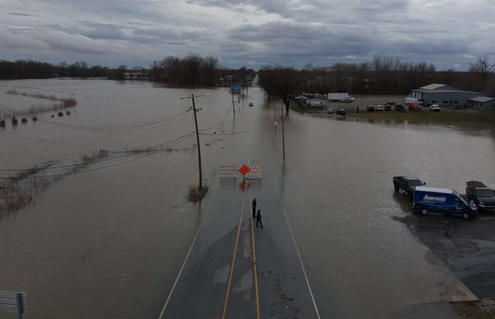
SOUTH-CENTRAL, Ind. - Due to more rain falling on Saturday, the National Weather Service (NWS) in Indianapolis has extended the Flood Warnings for several rivers in south-central Indiana.
60+ vendors will come together March 21 and March 22 from 10 to 6 both days showcasing crafts and delicious goodies also take a photo with the Easter Bunny


 Bartholomew County under "slight" risk for severe weather on Tuesday
 State Road 11 reopens, road closings list shrinks
 Bartholomew County participates in statewide tornado test this Tuesday
 NVPD arrests 15 during 'Operation Ice Pick'
 Area Flood Warnings extended